

Alum Cave Trail ranks as one of the most popular hikes in Great Smoky Mountains National Park for good reason. It displays a mix of rich, rugged mountain terrain and striking sights into a route that’s manageable for most day hikers, at least up to its first notable unique geological feature—Arch Rock.
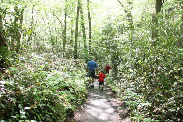
The hike to Arch Rock itself constitutes a manageable 2.5-mile round-trip, making it an excellent choice for those looking for a quick excursion that still delivers a special piece of the Smokies’ natural grandeur.
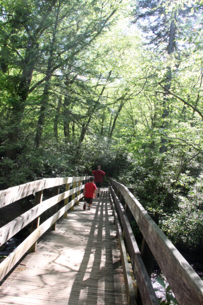
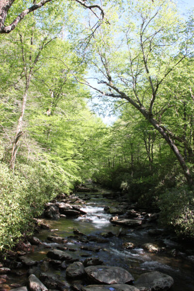
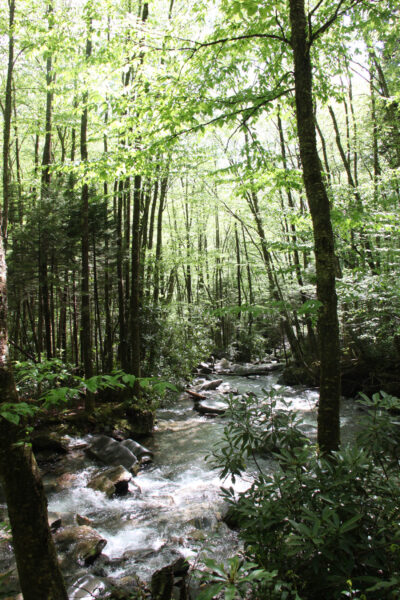
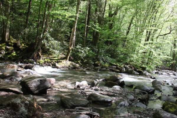
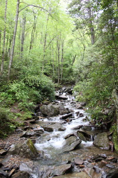
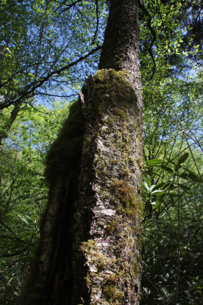
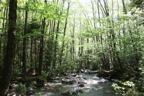
The trail follows Alum Cave Creek for its initial portion, winding through the lush forest, lined with rhododendron, blackberries, mountain laurel and other native flora, the sunlight shimmering on the spray from the stream alongside.
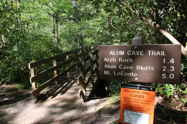
Find the Alum Cave Trailhead parking area on Newfound Gap Road (U.S. 441) about 6 miles south of the Sugarlands Visitor Center, outside of Gatlinburg.
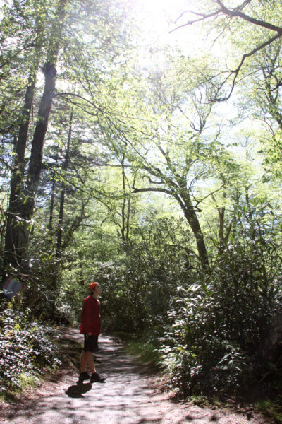
Setting out from the parking area, the Tennessee trail gradually climbs uphill, slowly but steadily gaining elevation as it follows the contours of the landscape. It’s a rocky trail at sections, with a mix of loose, small gravel and large stone slabs underfoot for much of its journey.
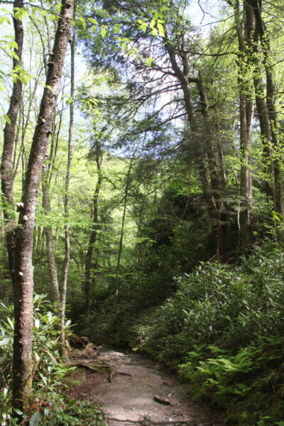
Several sections require careful footing, particularly after rain, but the well-cleared path makes the trek relatively straightforward and not incredibly steep. Alongside the trail, visitors will likely hear the steady gurgling of the creek, a cool, calming soundtrack for much of the hike.
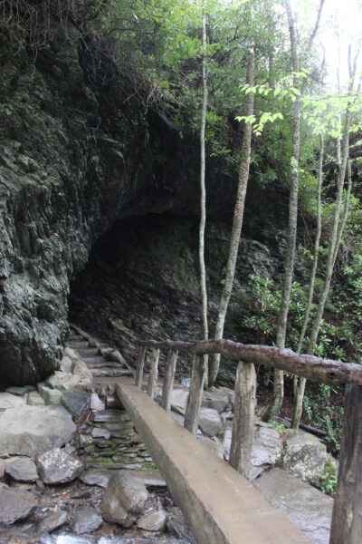
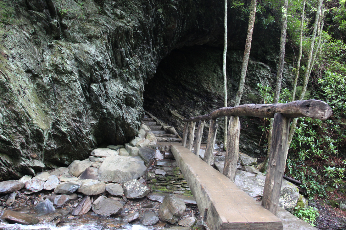
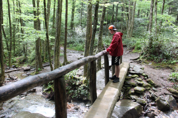
About 1.2 miles in, hikers reach Arch Rock, the trail’s first major landmark and a popular Great Smoky Mountains sight and photo spot. A narrow beam of a footbridge leads directly to the lower mouth of the cavern. Here, hikers ascend a set of roughly 50 stone stairs that curve their way through the tunnel-like formation carved in the black slate, the staircase leading right up and through this towering rock arch.
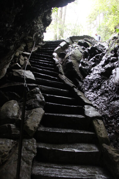
Some steps can be tight or slick, particularly in damp conditions, but mounted steel cables serve as handrails and the climb through this passageway is a highlight of the route, as the arch makes for one of the most photographed features in the park.
Many parties looking for a fairly short walk in the park will opt to turn back to the trail’s beginning from here.
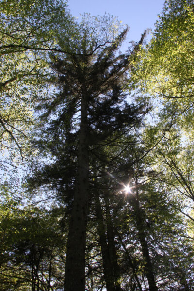
Continuing beyond Arch Rock, the trail becomes dramatically steeper. While the initial portion of the trail travels under thick forest canopy, climbing higher the terrain begins to open up and the forest begins to thin, offering glimpses of the surrounding ridges.
About 2.3 miles from the trailhead, hikers reach Alum Cave Bluff—a towering concave rock overhang that gives the trail its name. While it’s not a true cave, the bluff looms impressively high and provides a shaded rest area with panoramic views of the surrounding mountains. During colder months, water dripping from the bluff often freezes into spectacular, long icicles.
Other hikers will choose to turn around at this bluff, making that full out-and-back route just under 5 miles in total. However, some intrepid hikers venture all the way to the top of Mt. LeConte from the Alum Cave Trail parking area, about an 11-mile round-trip journey with a gain (and then a descent) of about 2,800 feet in elevation.
Those seeking a long, challenging hike continue to the summit of Mount LeConte—one of the tallest peaks in the Smokies at 6,593 feet (only 50 feet shorter than the highest point in the park: Clingmans Dome/Kuwohi). That full 11-mile round-trip hike from the Alum Cave Trailhead to the top of LeConte certainly makes a strenuous but rewarding trek–offering sweeping views and even the opportunity to spend the night at LeConte Lodge if the group makes advance arrangements.
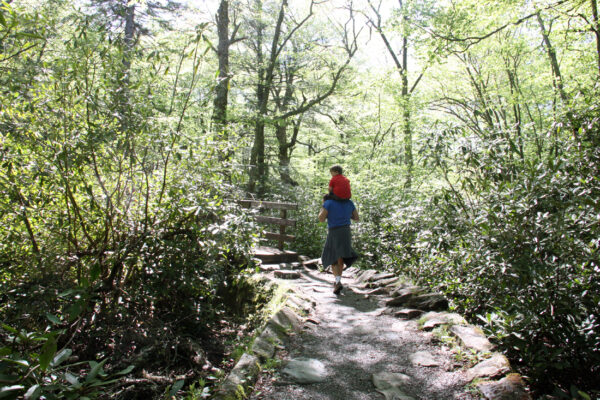
Even if your hiking party is not up for that full ascent, the hikes to Alum Cave Bluff, or simply to Arch Rock, are highly satisfying ventures in their own right. The area offers an excellent introduction to the park’s natural mountain features and East Tennessee forest ecosystem, providing a memorable Smoky Mountains adventure alongside a beautiful stream.
___
Alum Cave Trailhead
Newfound Gap Road/Highway 441, 6.8 miles south of Sugarlands Visitor Center in the Great Smoky Mountains National Park