

Traveling from the Central Valley Trailhead to the Walter Hill Dam on the northern outskirts of Murfreesboro, the North Murfreesboro Greenway offers a secluded paved trail experience that winds alongside the East Fork Stones River.
Although this portion of the Murfreesboro Greenway system is not contiguous with the other longer portion of the trail network (the 10-plus mile passage known as the Stones River Trail that travels from Thompson Lane to Barfield Park, running through the heart of town), the North Murfreesboro Greenway makes a lovely, scenic, well-maintained 1.3-mile trail segment of its own.
An out-and-back trip here makes 2.6 miles, quite enough of a walk for many folks looking for some outdoor exercise.
The Central Valley Trailhead, located on Central Valley Road off of Lebanon Road/Highway 231 just north of Richard Siegel Park, features a full 18-hole disc golf course set up in the fields and woods surrounding the parking area, the second disc golf course for Murfreesboro Parks (the other is at Barfield Park). Enter the Greenway at Central Valley and trace the course of the Stones River north while traveling the recently paved path over its 1.3-mile stretch to the Walter Hill Dam.
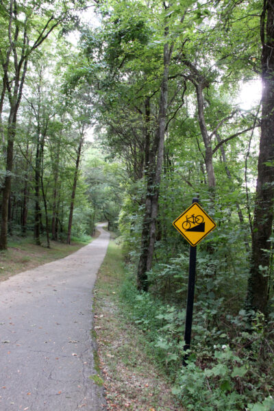
The journey is comprised of two large hills. While the pavement is smooth, the fairly steep inclines and declines could make the trail quite a challenge for strollers, wheelchairs and young cyclists, though the North Murfreesboro Greenway would be an excellent choice for runners looking to get in some hill training. It could be a blast on a bike or scooter, but keep in mind there’s a bit of a grade.
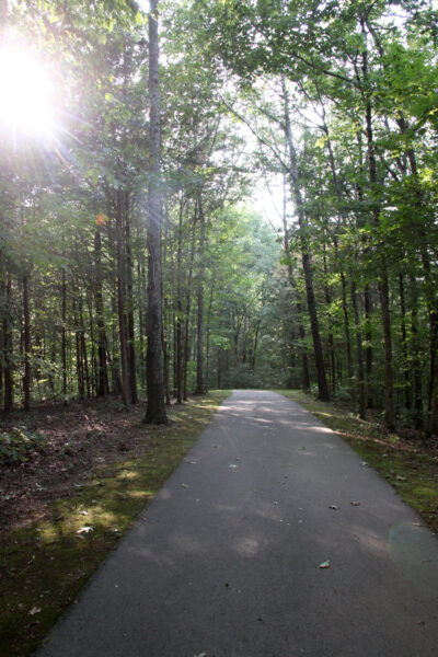
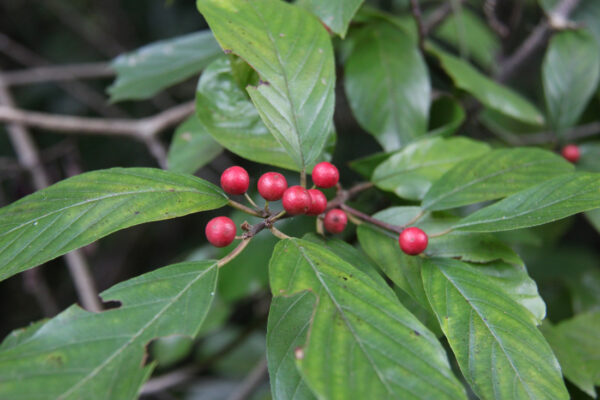
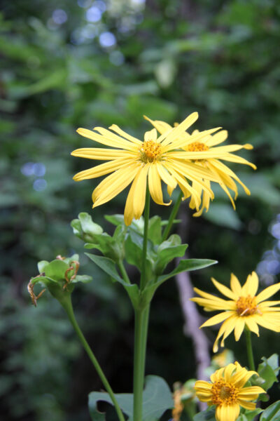
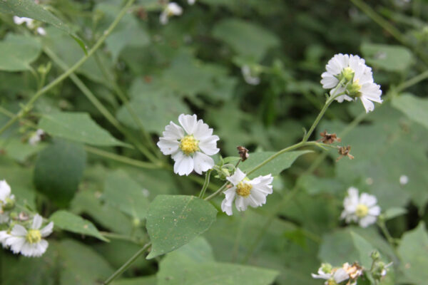
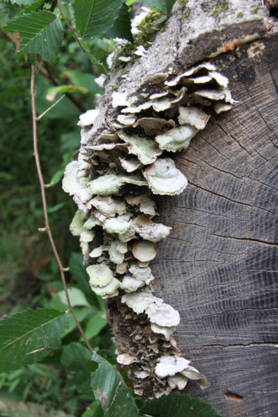
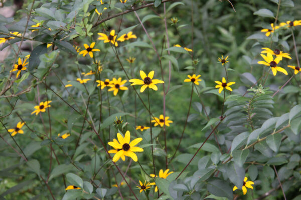
Soon after leaving the trailhead, the path becomes shady and peaceful. Trees canopy much of the route, keeping it feeling mostly pleasant, even on a sweltering summer day as a party walks along in the shade, hearing only the hum of the bugs.
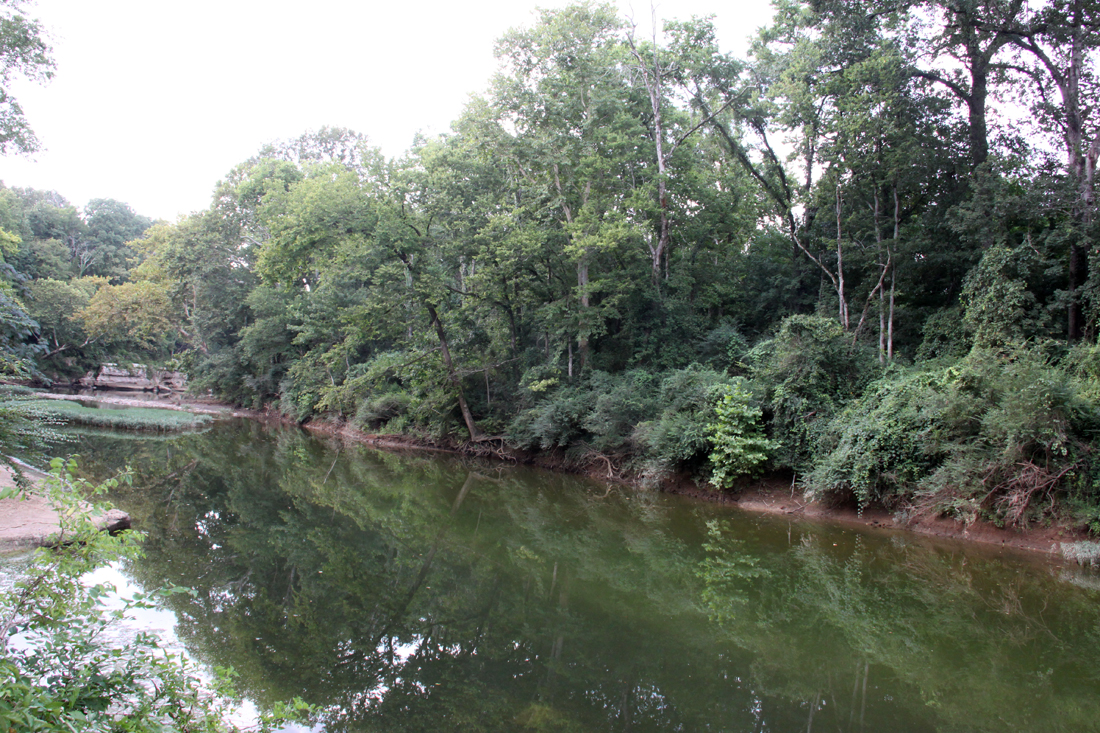
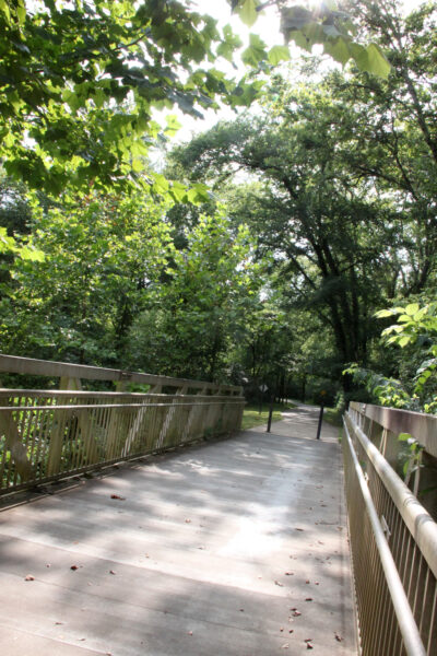
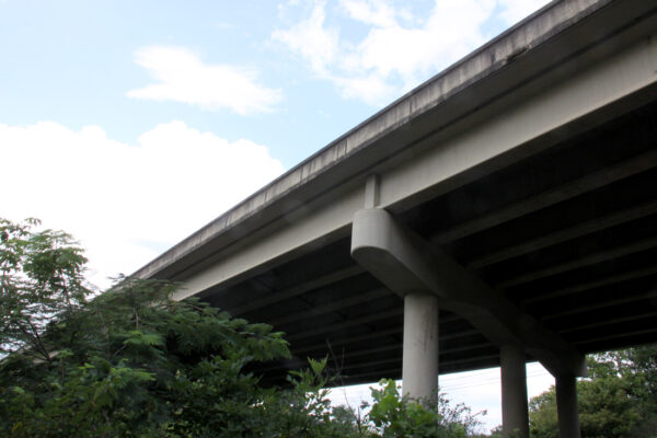
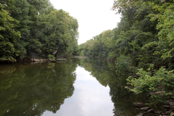
It leads uphill for a while and hikers catch some striking views of the slowly rolling Stones and the impressive rock walls on its opposite bank as they ascend quite a ways over the river. The trail dips into a valley, crosses a small bridge, and begins to climb and then descend a second hill, leading past a kudzu-shrouded embankment before the Greenway ducks underneath the fast-moving traffic of Highway 231 via a tunnel. Cars speed by overhead, many oblivious to the concealed corridor just beneath them.
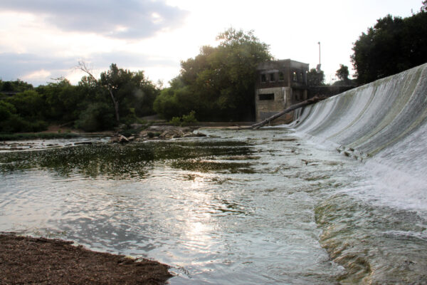
Here, the trail emerges at the large parking area by the Walter Hill Dam.
The dam itself is a notable feature—part of an old hydroelectric system—and the water still tumbles over it, wide and powerful.
The area above the dam was once a popular community swimming hole, but its close proximity to the Middle Point Landfill and rising concerns about contaminated water have, for many, reduced the fishing and swimming appeal.
Some locals still wade and swim above the dam—a couple of rope swings are available for those who want to take a plunge, though others who want no part of mercury poisoning perceive it as a chemical-laden cesspool to be avoided.
“Dad, I’ve never seen water that looks orange,” one 4-year-old commented on a recent visit.
Enter if you dare; approach with a healthy skepticism.
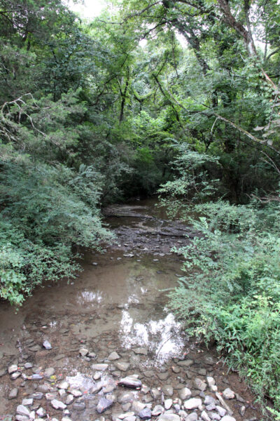
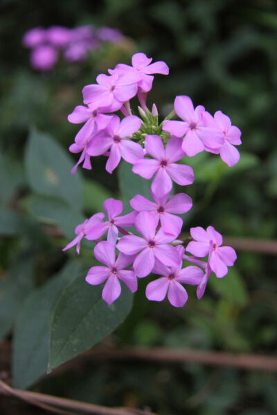
Aside from all of this, the views along the Greenway trail remain beautiful, a secluded preserve to be so close to an urban setting. It offers an ideal spot for anyone looking to trade the traffic and bustle of city sidewalks for some quiet moments in nature, its two hills adding a surprising bit of elevation change to the smoothly paved 1.3-mile trail.
Photos by Sarah Mayo / The Murfreesboro Pulse
Returning to Central Valley, if one were continue on the trail rather than exit for the parking lot (or, take a left on the trail, rather than a right, when embarking upon it from the Central Valley Trailhead parking lot), it continues on as the Twin Forks Horse Trail, maintained by the Army Corps of Engineers, following the East Fork and then the West Fork of the Stones River all the way to Nice Mill Dam, nearly 17 miles in all.
There are talks of connecting Central Valley to Thompson Lane, and thus joining the North Murfreesboro Greenway to the Stones River Trail and the rest of Murfreesboro, though seemingly nothing has yet been made official on this. Future development in the region might someday link these trails within the Murfreesboro system to Sharp Springs Park, Long Hunter Park, the Smyrna Greenway system, and even Nashville, with the goal of providing a natural setting for exercise and safe access all the way from Nashville to Murfreesboro for those on bike or foot.
Find more on the Murfreesboro Greenway trails here.