Up on Signal Mountain, just a few miles north of downtown Chattanooga, a few natural areas offer some quiet chances to explore the thick mountain woods.
Approaching Chattanooga on I-24 from the Murfreesboro/Manchester/Monteagle/Nashville direction, the interstate journey itself yields some lovely Tennessee scenery, crossing the massive Tennessee River as towering hills surround the river valley.
A group continues through the city and heads north towards Signal Mountain. After exiting Highway 27 comes the uphill adventure up W Road—most likely named for the extremely tight, “W” shaped curves a vehicle must navigate traveling up the steep hillside—and then, once on top of the ridge, Brow Road provides some incredible distant sights from above.
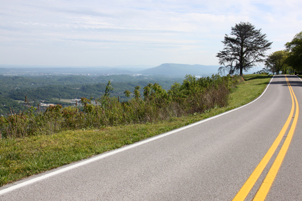
A vehicle makes a significant elevation gain in just a few minutes and the view from here (similar to those from atop the nearby Lookout Mountain and Rock City) is absolutely worth a little detour for anyone driving through Chattanooga with a few extra minutes to spare.
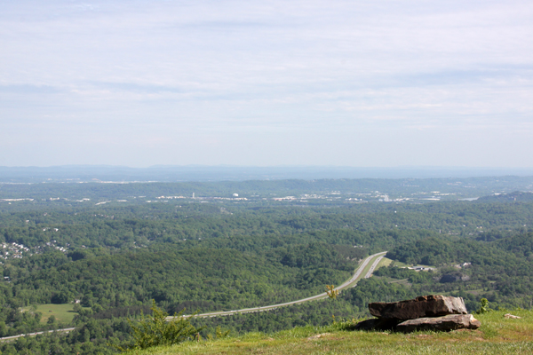
A lot of folks live (in some very nice houses with absolutely incredible views) up here in the Walden community atop W Road.
Navigate through this neighborhood to Falling Water Trail and find a very small parking area for the natural area containing Falling Water Falls.
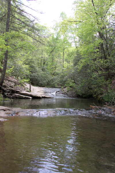
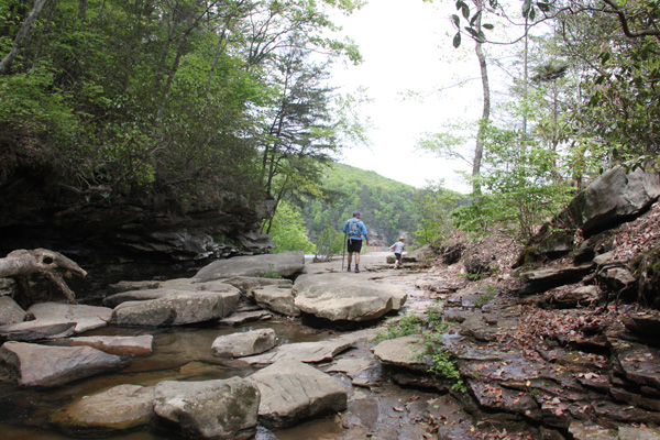
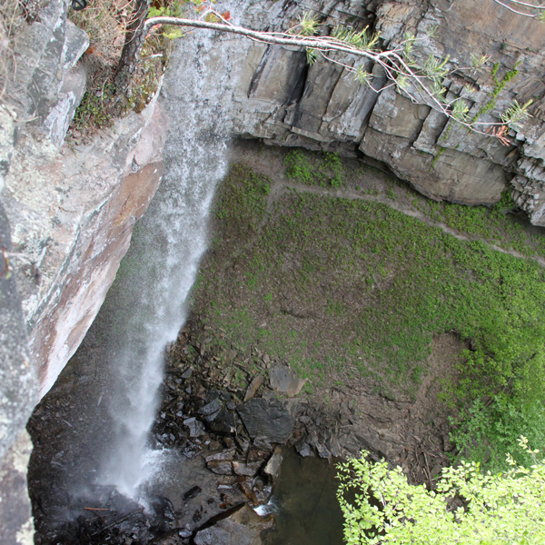
After a short walk from here, visitors will come to a creek, and not long after that the trail leads to the top of a huge bluff at the top of the falls. Careful! Be sure to stop. It’s over a hundred feet straight down.
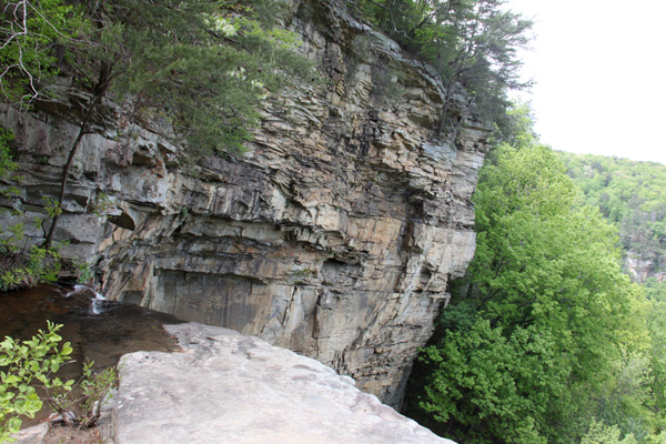
The bowl surrounding the waterfalls contains a very large rock face to the left, the creek below the falls to the middle, and a view of the distance to the right “a scenic vista of the Tennessee River Valley,” as the Tennessee Department of Environment of Conservation puts it (though visitors can’t see quite as far from this section of the mountain as from the road on the trip up).
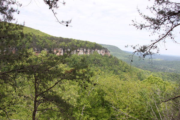
However, there’s not much of a view of the actual 110-foot high Falling Water Falls from above, unless you want to crawl to the very edge of the cliff on your belly and peek over, as some explorers indeed do.
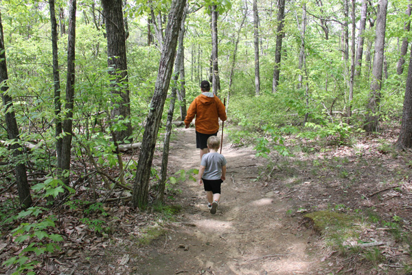

The trail loops around back to the parking area and, aside from a few thorns, it’s an easy walk as waterfall hikes go.
___
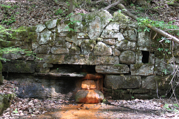
For more exploration of the forest, pay a visit to the nearby Mabbit Spring area.
More creek-side trails here, just a few miles upstream Little Falling Water Creek from the Falls area, offer lots more adventures on the mountaintop.
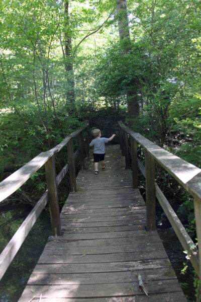
Access Mabbit Spring Trailhead from a separate, very small parking area in the residential neighborhood.
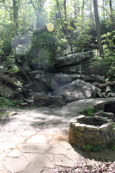
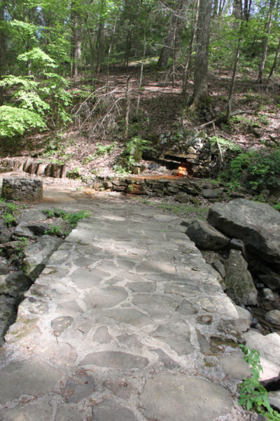
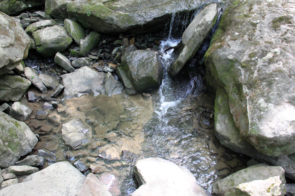
Walk along for a short distance and find a cool stone bridge feature here near the gently cascading creek. Stop for a moment and listen to the creek flow around some massive boulders as the birds chirp.
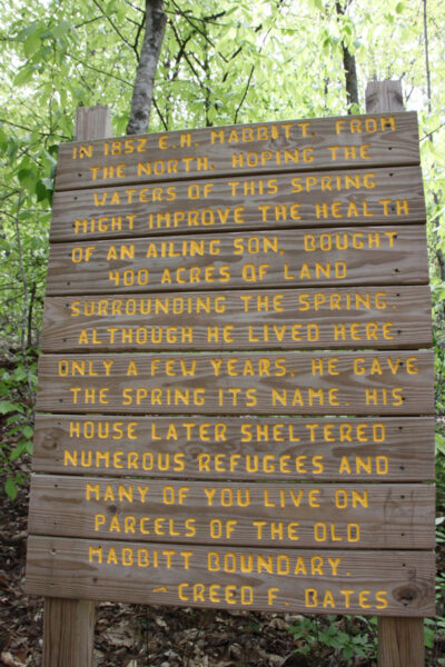
Trails continue on both sides of Falling Water Creek. Hikers can spend quite a bit of time at this Mabbit Spring area exploring the densely wooded mountaintop in various directions and playing in the creek.
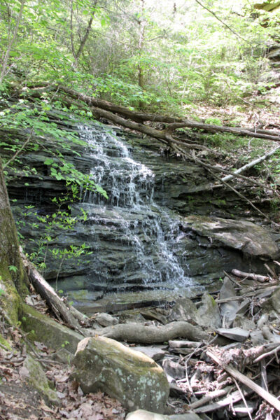
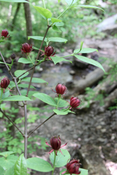
Up the hill from this spring and bridge area, above the primary trail, sits another cool feature. A small waterfall here on the hillside flows over thin layers of rocks stacked atop each other like layers of a stony biscuit.

Although the view of Falling Water Falls isn’t exceptional, pairing that with the Mabbit Spring Trail and taking in the expansive view from the roadways makes an excursion to the area worthwhile.
If you truly want to explore a unique part of Tennessee, drive up W and Brow roads sometime . . . very, very cautiously on the sharp mountain turns and near the perilous bluff. It’s probably one of the coolest roads in the state.
Falling Water Falls State Natural Area
995 Falling Water Tr., Walden, Tennessee
Mabbit Spring Trailhead
4404 Wilson Ave., Signal Mountain, Tennessee


